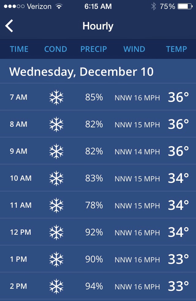
In this age of mobile connectivity we’re never far from up-to-the-moment weather advisories and alerts. This winter storm warning interrupted me this morning.
Alert: Winter Storm Warning Winter storm warning now in effect until 11 pm EST this evening. The national weather service in Burlington has extended the winter storm warning for heavy snow and mixed precipitation until 11 pm EST this evening.
Locations The northern Adirondacks of New York as well as central and southern portions of Vermont.
Hazard Types Heavy wet snow and mixed wintry precipitation.
Accumulations Total storm snow accumulation of 8 to 16 inches of heavy dense snow along with around a trace of ice. Locally higher accumulations possible across the higher elevations.
Maximum Snowfall Rate Up to 1 inch per hour mainly this afternoon through evening.
Timing Light snows and occasional light mixed precipitation this morning will become steadier and heavier by this afternoon into this evening.
Impacts Travel conditions will remain difficult to hazardous due to snow covered roads and visibilities occasionally dropping below one half mile. In addition the weight of the snow and light ice accumulations may lead to additional scattered power outages. Snow amounts will vary by elevation with temperatures near freezing and road conditions will be highly variable.
Winds North 5 to 15 mph with gusts up to 30 mph.
Temperatures Steady from the upper 20s to the mid 30s.
The winter storm warning is abbreviated here to avoid the doomsday implications regarding “Precautionary/Preparedness Actions”. An early season heavy snow can be exciting. It might even offer us an opportunity to x-country ski before heading off to Santa Fe in a couple of days. (I’m feeling excitement tempered with the hope that this winter storm warning doesn’t delay our departure… Fingers crossed for the good without the bad!)

Leave a Reply